GRASS GIS Review
- What is GRASS GIS
- Product Quality Score
- Main Features
- List of Benefits
- Technical Specifications
- Available Integrations
- Customer Support
- Pricing Plans
- Other Popular Software Reviews
What is GRASS GIS ?
GRASS GIS is a free GIS platform designed to provide the worldwide academic institutions and different commercial settings with data management, geospatial analysis, graphs and maps production, visualization, image processing, and spatial modeling functionalities. Government agencies and environmental consulting firms can also use this open-source software for analyzing location-based data and organizing them efficiently. GRASS GIS is available for major operating systems such as Mac OS, Linux, and Windows. The software is an official project developed by Open Source Geospatial Foundation (OSGeo) and is distributed via the General Public License V2 (GNU GPL). This means that everyone is free to use GRASS GIS and access the source code for more customization capabilities.Product Quality Score
GRASS GIS features
Main features of GRASS GIS are:
- Data management
- Graphic production
- Image processing
- Spatial modeling
- Open-source
- Visualization
- GPL V2
- Raster & vector data manipulation
- Map & image rendering
- Multispectral image data processing
- Workgroup support
- GUI & command line
- Raster & 3D-raster analysis
- Point data analysis
- Vector analysis
- Image processing
- Geocoding
- DTM analysis
- Geostatistics
- Erosion modeling
- Temporal framework
- Landscape structure analysis
- Watershed analysis
- Solution transport
GRASS GIS Benefits
The main benefits of GRASS GIS are data management, image processing, and its open-source nature. Read on to understand further.
GRASS GIS is an open-source system and this is one of the reasons why it is more beneficial compared to other similar software. It is originally designed by the U.S. Army as a land management and environmental planning solution. In time, this simple tool has turned into a multi-functional system that provides a broad range of useful utilities for scientific research and academic institutes, NGOs, government agencies, and commercial settings. GRASS GIS is composed of more than 350 modules that help users render images and maps and manage location-based information.
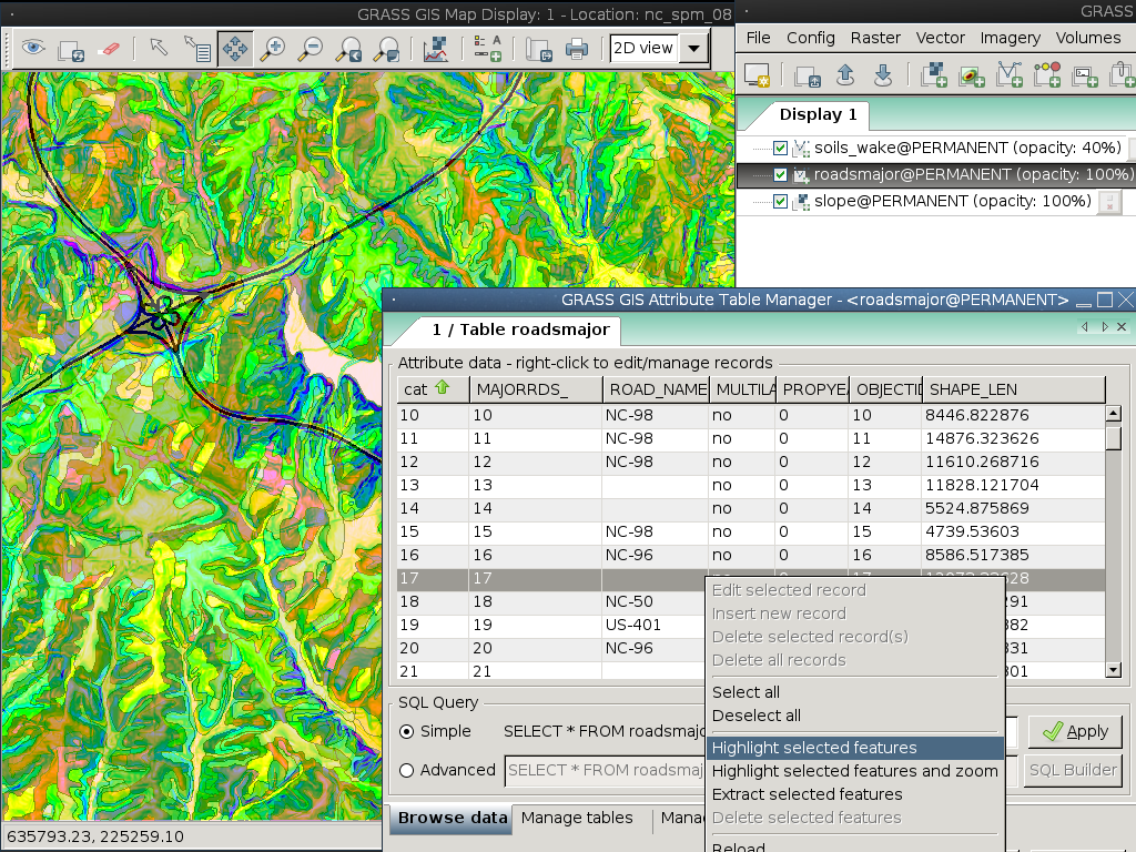
Besides those functions, GRASS GIS can also be used for raster and vector data, spatial data designing, multi-spectral image processing, storage, and manipulation. It supports command line syntax and graphic user interface. It also works with different printers, plotters, digitizers, and databases. GRASS GIS supports workgroup via mapset/location concept and can share data through the Network File System. Your team can keep locations on central servers with underlying map sets while working on similar project DBs.
Furthermore, GRASS GIS provides robust capabilities such as 3D raster (voxel), raster, DTM, and point data analysis, geocoding, image processing, map creation, visualization, temporal frameworks, geostatistics, landscape structure analysis, erosion modeling, solution transport, watershed analysis. Also, it supports different database interface such as ODBC, DBF, SQLite, PostgreSQL, and MySQL. Its latest version by default manages the attributes in SQLite format, and it features a full temporal system.
Technical Specifications
Devices Supported
- Web-based
- iOS
- Android
- Desktop
Customer types
- Small business
- Medium business
- Enterprise
Support Types
- Phone
- Online
GRASS GIS Integrations
The following GRASS GIS integrations are currently offered by the vendor:
- SQLite
- PostgreSQL
- DBF
- MySQL
- ODBC
Customer Support
Pricing Plans
GRASS GIS pricing is available in the following plans: